


Check Your Property Risk Related to Climate Change
October 16, 2025A new state online mapping tool helps residents and businesses to assess evolving property risks related to climate change such as flooding and wildfires.
This new service will aid people in better understanding their personal and insurance needs through the state Insurance Department's property risk charting tool.
By inputting the specific address of your house or business location, you can instantly see a property exposure rating to climate change related threats including flooding, wildfire, wind, heat and air quality.
With its launch, Connecticut became the first state in the nation to make such an interactive mapping and risk report tool available to all residents. The program is a result of a partnership between the Insurance Department and First Street, a non-profit entity specializing in climate risk data.
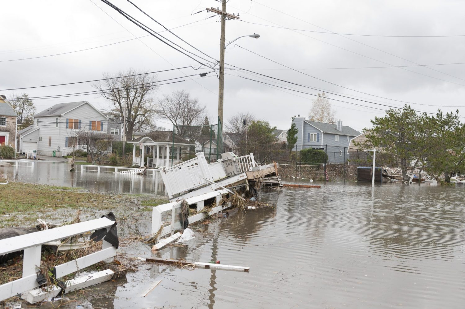
Climate change has increased the need for better property risk assessments. For example, right here in Connecticut, the western part of the state experienced major flash flooding from excessive rainfall in August 2024. Many of the damaged properties lacked flood insurance, as they were unaware of the potential risk.
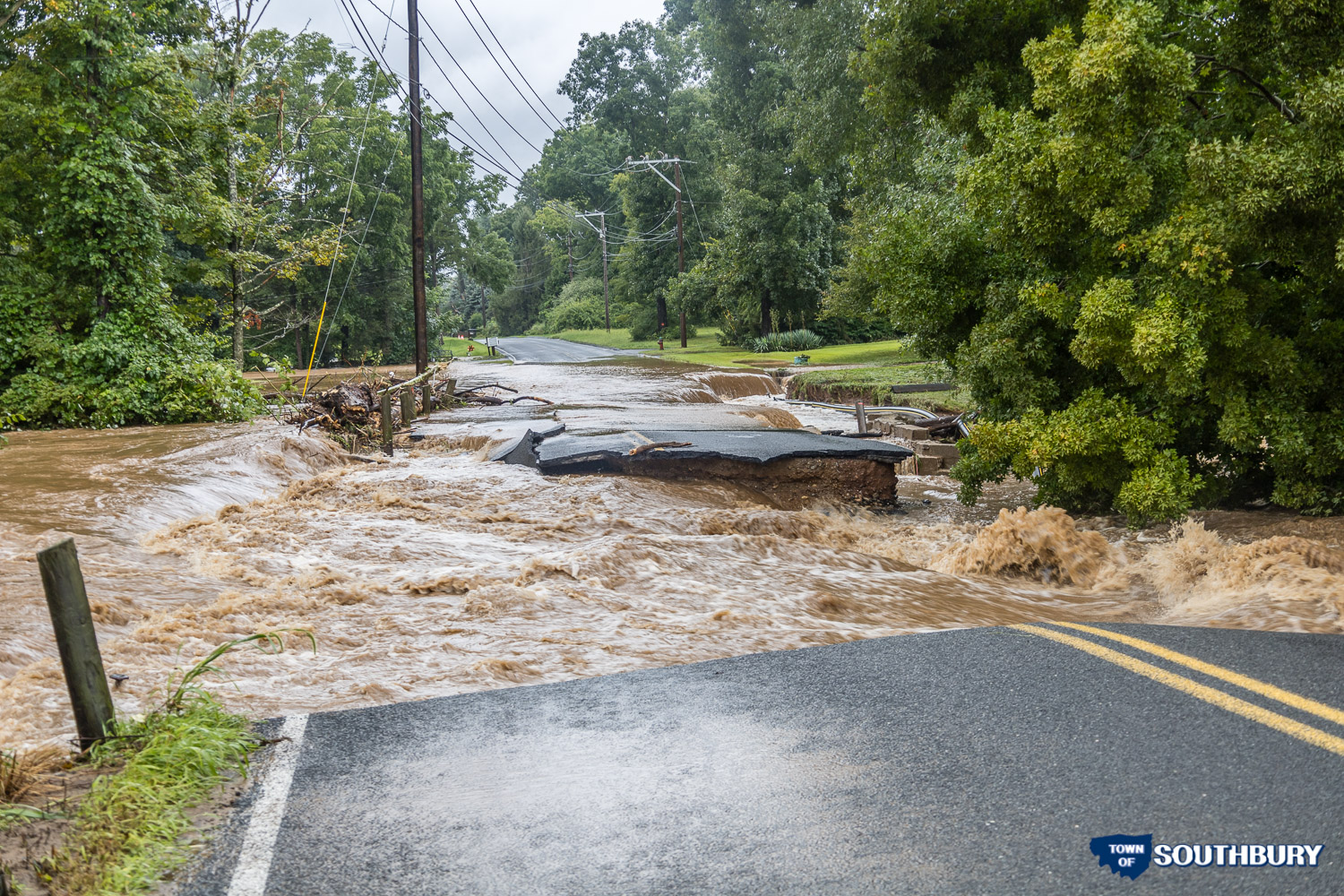
Climate change is real, creating an environment fueling more severe storms and natural disasters. We encourage everyone to try the new risk mapping tool and to let friends and neighbors know about it as well.
The free-climate-risk-mapping tool is available here. It can also be accessed through the Flood Insurance Information Center on the state Insurance Department website.